Los Nr. 791 | A302
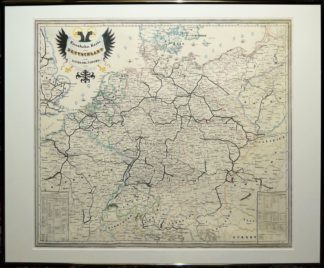
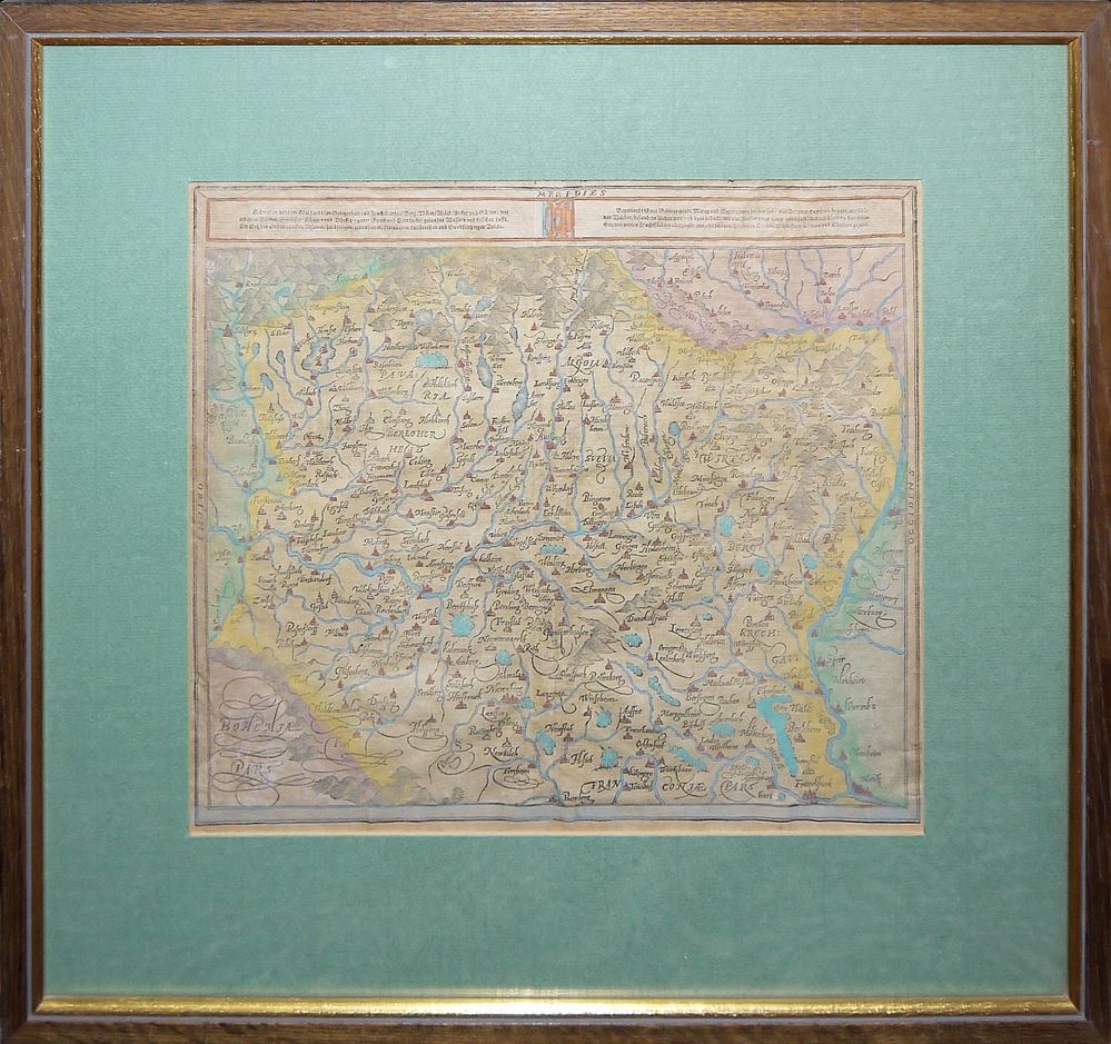
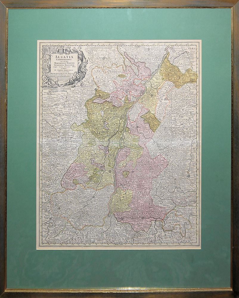
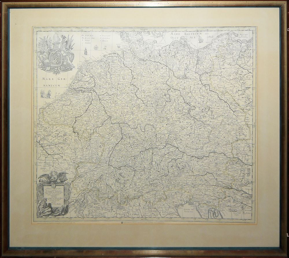
0791-5 Landkarten Schwaben, Bayern, Preußen, Elsass und Deutschland, 1550-1964 sowie Eisenbahnkarte Deutschland u. Nachbarn 1849, gerahmt
€ 20
€ 110
€ 110
5 Landkarten Schwaben, Bayern, Preußen, Elsass und Deutschland, 1550-1964 sowie Eisenbahnkarte Deutschland u. Nachbarn 1849, gerahmt
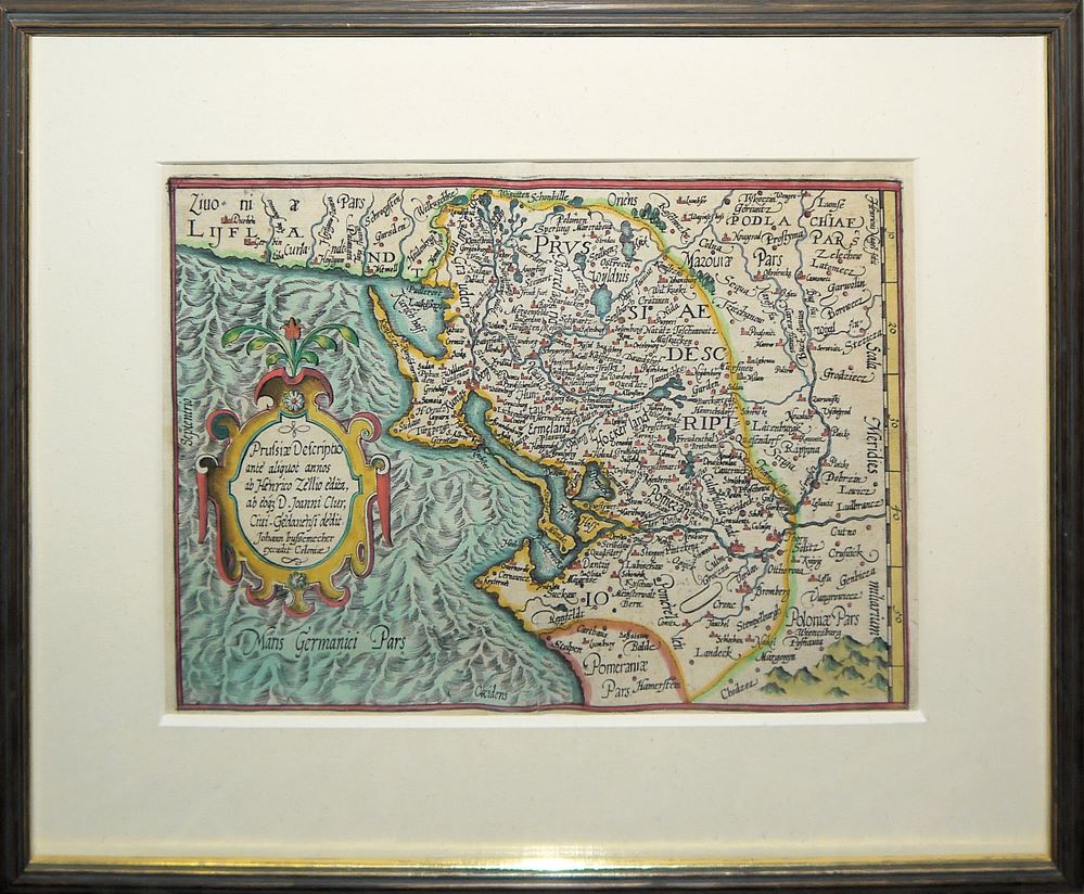
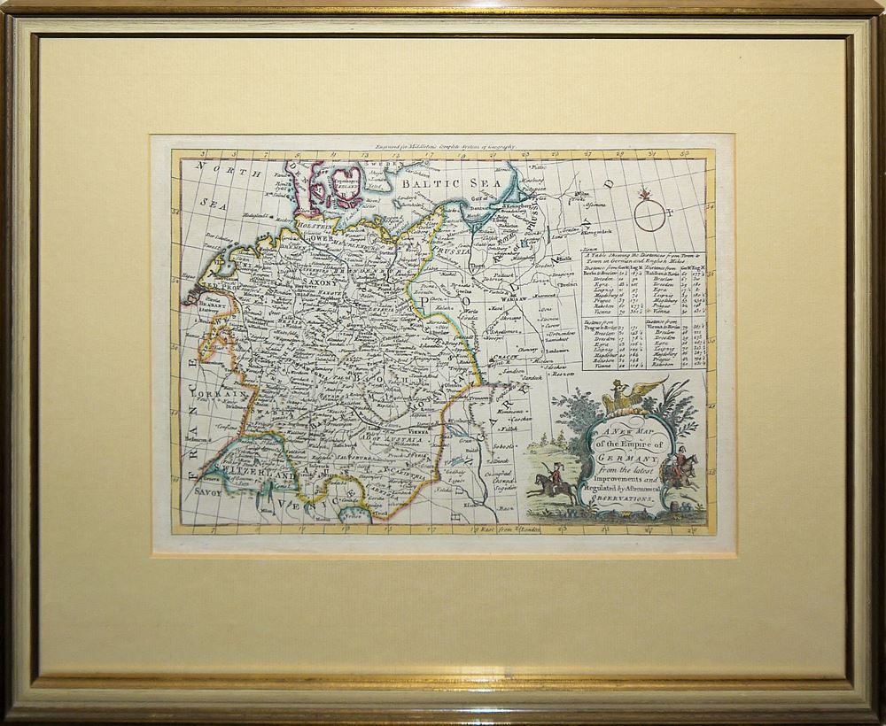
Sebastian Münster, 1489-1552, "Schwaben und Bayerlandt/darbey auch begriffen der Otenwald, Nortgow...", Holzschnitt, koloriert, 30 x 35,5 cm,Basel um 1550; Matthias Quad,1557-1613 und Johann Bussemacher, tätig 1580-1613, Prussiae Descriptio ante aliquot annos ab Henrico Zellio edita, ab eogz D. Joanni Clur, Civi Gedanensi dedit. Johann bussemecher excudit Coloniae, Kupferstich, koloriert,1594, 26 x 18 cm; Tobias Conrad Lotter, 1717-1777, Matthaeus Seutter, 1678-1756, Alsatia Landgraviatus cum utroque Marchionatu Badensi, Sundgovia, Brisgovia magno tractu Hercinise Silvae et ditione IV Urbium Silvestrium..., Kupferstichkarte, koloriert, Augsburg, um 1740, 58 x 50 cm Thomas Bowen, A New Map of the Empire of Germany from the latest improvements, Kupferstichkarte, 20 x 28,5 cm, koloriert, London. ca. 1771, Tabula geographica totius S. Imperii Romani / autore Johann Ulrico Müllero, Nachdr. d. Landkarte von ca. 1690, hrsg. von Wilhelm Bonacker 1964, 63 x 75 cm; Eisenbahnkarte Deutschlands und der Nachbarländer 1849, Druck nach Stahlstich, 50 x 62,5 cm, alle hinter P.p. und Glas gerahmt